


Geo-Integrity Atmospherics
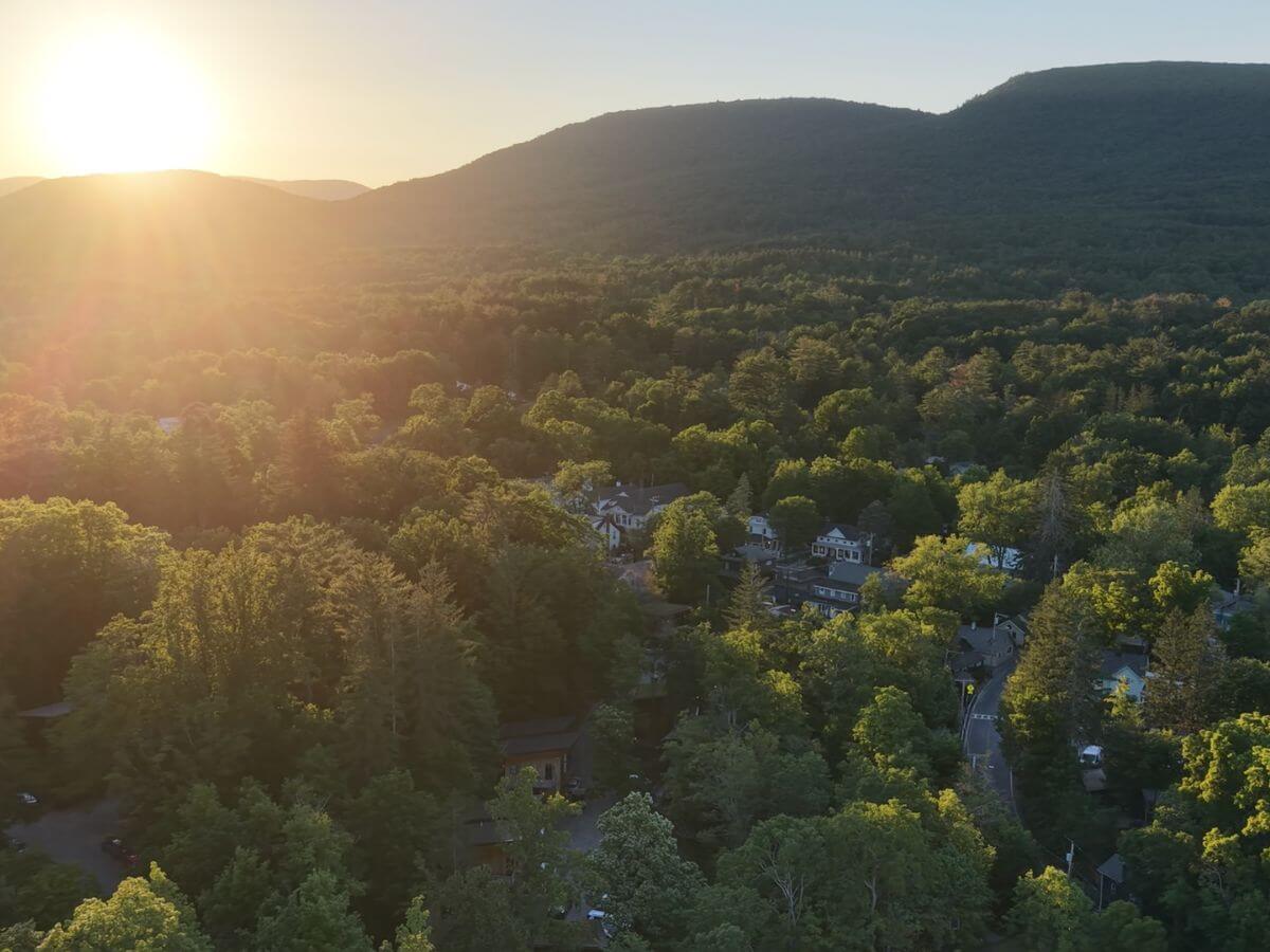
Hudson Valley UAV company delivering advanced aerial imagery and precise geospatial data for conservation, infrastructure inspection, and cinematic production. FAA Part 107 certified. Fully insured.
About Geo-Integrity Atmospherics
Gemini said Geo-Integrity Atmospherics Hudson Valley, New York | FAA Part 107 Certified | Fully Insured
Geo-Integrity Atmospherics is a specialized, Hudson Valley–based UAV services and visual production firm. Built as an agile, single-operator practice, the company is designed to pivot and adapt rapidly to the specific technical and creative needs of each project. Founded four years ago by a commercially certified pilot, the firm provides a sophisticated dual-track service: legally defensible geospatial datasets for land management and broadcast-standard cinematography for elite documentary and commercial production. By maintaining a lean operational structure, Geo-Integrity Atmospherics offers a level of responsiveness and direct accountability that larger firms cannot match.
Clients & Project Experience Florentine Films / PBS — Extensive aerial and ground-based cinematography for Ken Burns’ documentary series on the American Revolution; ongoing collaboration involving high-dynamic-range acquisition and post-production workflows.
Scenic Hudson — Wildlife surveys, conservation easement monitoring, and land conservation analysis across complex Hudson Valley terrain.
Columbia Land Conservancy — Precision thermal deer surveys and wildlife population analysis. Technical workflows include the processing of synchronized thermal and RGB media, ensuring that wildlife population data is organized into analysis-ready formats for conservation stakeholders.
Inspekt AI — Specialized aerial data acquisition for AI-driven microscopic defect detection on facades and infrastructure. Beyond raw data acquisition, the company provides comprehensive video post-production and multi-channel asset management to streamline AI-driven inspection reviews.
Daryl K / I Am My Muse Exhibition — Lead media organization and editorial workflow for multi-screen fashion exhibition and gallery installations. Managed high-volume asset intake, audio-visual synchronization, and final delivery for editorial review.
Core Technical & Production Services The company’s foundation is built on high-resolution data acquisition across multiple spectrums. This includes thermal imaging, RGB photogrammetry, 2D/3D terrain mapping, and volumetric analysis. All datasets are processed through industry-standard geospatial platforms to produce geo-referenced, analysis-ready deliverables.
Beyond data, we provide a comprehensive cinematic production suite. We utilize Blackmagic Design ecosystems for both ground-level and aerial capture, utilizing 12-bit Blackmagic RAW (BRAW) codecs to ensure maximum dynamic range and color flexibility. By maintaining a "sensor-to-edit" workflow, we provide professional video editing and color grading services that integrate seamlessly into high-end broadcast and editorial pipelines.
Fleet & Payload Integration Our UAV fleet is purpose-configured for three distinct operational tiers:
Thermal & Environmental Sensing: Calibrated dual-sensor workflows for simultaneous thermal and RGB collection.
Precision Mapping: High-accuracy photogrammetry utilizing RTK technology for repeatable, centimeter-grade positioning.
Stabilized Cinematic Capture: Aerial platforms paired with Blackmagic ground-based cinema cameras for a unified visual aesthetic.
Aerial Lift Services: Geo-Integrity Atmospherics provides a heavy-lift aerial platform (up to 10 lbs.) specifically for clients and technology partners who wish to provide and integrate their own specialized payloads and proprietary sensor systems. We provide the flight operations, technical integration, and a consistent, documented flight environment for the deployment of your instrumentation.
Methodology & Standards Every mission—whether a thermal loss study or a documentary sequence—is built on the principle of defensible, repeatable data. By utilizing standardized flight paths, documented environmental conditions, and structured post-processing, we ensure that our output (from 3D meshes to 12-bit cinematic masters) remains comparable and consistent across the life of a project.
Looking Ahead Geo-Integrity Atmospherics is currently developing a UAV-based remote water sampling platform for environmental field sampling, specifically targeting harmful algal bloom monitoring and reservoir quality assessments. This expansion reflects our ongoing commitment to leveraging UAV technology for environmental science and public health.
Geo-Integrity Atmospherics operates at the intersection of science, infrastructure, and media—delivering precision data and compelling imagery where accuracy and visual quality are equally non-negotiable.